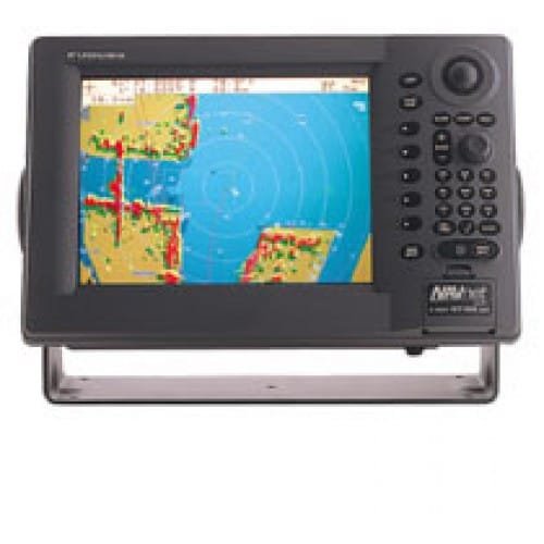
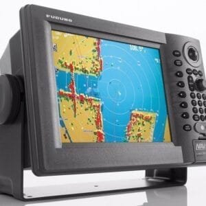
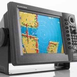
Furuno 1944C NT NavNet Vx2 Radar System
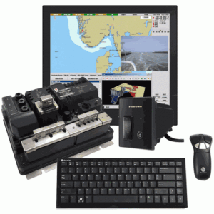
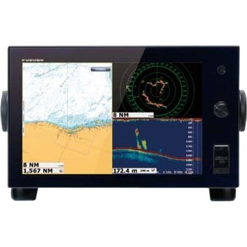
The Furuno 1944C/NT NavNet vx2 Radar System provides all the latest features for your marine network. NavNet vx2 combines radar, GPS/WAAS chart plotter, fish finder, and network weather facsimile into an all-round navigation network. Its wide range of options fulfills virtually every desire you may have for navigation system.
| Display | Antenna | Range | Power Output |
Hor. Beamwidth |
| 10.4″ Color LCD | 4′ Open Array | 64 n.m. | 6 kW | 1.85 degrees |
NavNet vx2 Features
- All display units are capable of controlling any component connected to the NavNet network
- Perfect for single or multi display installations
- Fully supports C-MapNT MAX charts.
- Utilizes SD cards for chart and memory.
- Fast chart drawing speed.
- Straightforward “Plug ‘n Play” installation with wizard style set-up.
- AR-coated, high-brightness display unit for improved sunlight viewability.
Radar & Chart Plotter Features:
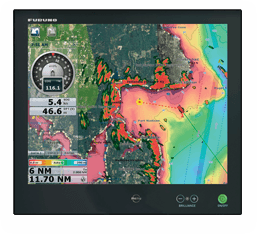
- Sunlight Viewable 10.4″ Color VGA (640 x 480) TFT LCD Display
- AR-coated, high-brightness display unit for improved sunlight viewability.
- Automatic GST (Gain, Sea Clutter, Tuning) Receiver
- Target or Echo Trails with Selectable Time Intervals
- Commercially popular SD chart/memory card format
- Full compatibility with C-MapNT MAX charts
- Enhanced graphics with 256 color full VGA presentations
- Improved screen redraw, scroll refresh, and memory cache
- New “Quick Point” L/L direct entry waypoint
- 100 target AIS display with I/F module and external AIS Rx
- Simplified installation with new “Network Wizard” set-up
- Adjustable (In or Out) Radar Guard Zone Alarm
- Picture Off-Centering or Target Zoom Mode
- Cursor L/L Position Display **
- Watchman Mode activates the Radar for Safety and Security
- On-Screen Display of Vessel Position, Heading, etc. *
- Waypoint Lollipop On-Screen, to simplify Navigation * or **
- Full Functioning Infared Remote Control
- Radar Overlay available with appropriate heading sensor (ie. PG500R)
- Vessel Position Display in L/L or Loran-C TD’s
- North-Up, Course-Up or Automatic Course-Up display modes
- Plotter, Nav Data, Steering Director or Highway display modes
- Up to 8,000 points for ship’s track and marks, 999 waypoints, 35 quick points, 1 MOB, 200 planned routes (max. 35 waypoints/route) and 1 quick route
- Add Multiple Displays by Connecting to NavNet Interface
- Add Network Sounder by Connecting to NavNet Interface
- Power Requirements: 12 or 24 VDC


Reviews
There are no reviews yet.